Gibsons Trails
Gibsons is a beautiful coastal town with approximately 4200 residents and located on the lower Sunshine Coast of British Columbia. In summer, the population increases quite dramatically with the influx of tourists, many of whom come to enjoy exciting outdoor adventures. Many people remember it as being home to the 1970's show called The Beachcombers.
Whether you are a visitor to our region or a resident, you will likely want to explore the local trails either on foot or bike. You will not be disappointed. Gibsons trails are some of the best on the Sunshine Coast, with most located in the Sprockids Bike Park. (I have a separate page devoted to just these trails!)
Two things to note:
1. Gibsons includes quite a number of, what I call, urban trails. I have not included these on the website for a number of reasons, but mostly because I think those of you accessing this site are more interested in a wilderness setting.
2. Sprockids trail descriptions can be found on the Sprockids Bike Park page.
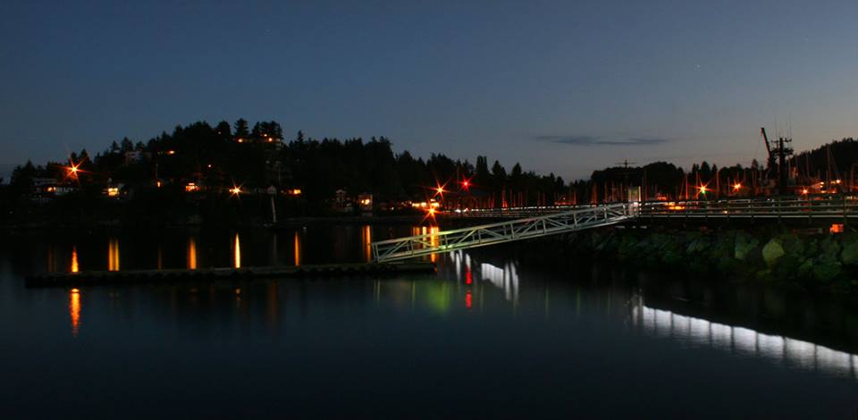
Gibsons Harbour at night.
Gibsons Trail Descriptions
Below is a list of Gibsons trails that have names. Please keep in mind that most of these trails would be hiked or ridden in combination with others and don't generally stand alone. You can check out the map to see how they all weave together. Click on each trail name to go to the Gibsons trail map.ELF
Trail Rating for Bikers - Most Difficult (Advanced)
Elf is a relatively new trail that was built specifically in an area off Reed Rd. that has been designated for logging in the near future. The intent was to bring awareness to people and expose them to the beauty of some old growth forest. It is soft and new and not built with biking in mind.
Hwy. 102 South
Trail Rating for Bikers - More Difficult (Intermediate)
This is a steep trail that drops off Hwy. 102. It connects down and into the network of trails and logging roads at the end of Reed Rd.
Medium Roast
Trail Rating for Bikers - Most Difficult (Advanced)
This trail is steep to extremely steep in places. It connects down off Hwy. 102 and into the network of trails and logging roads at the end of Reed Rd.
Mount Elphinstone Summit Trail (Hiking)
Very popular trail for hikers from late spring to mid to late fall. It is one of the highest peaks on the lower Sunshine Coast so it is a good workout, especially if you start at the very lowest point in Langdale! It is accessed off the White Trail in Sprockids. You won't really encounter any views on the way up, but at the top there are some beautiful vistas, especially looking out towards the Tetrahedron from the helicopter pad at the tippy top. As with all of the trails, watch for wildlife. I encountered a bear on my way up, but we both minded our own business :-)
This trail is not really suitable for biking although I have encountered bikers on it and there isn't anything saying you can't ride it. However it is a difficult trail and quite a climb up. I've only ever seen people riding down and they have accessed it from the Sechelt Dakota Forest Service road.
A description of the route can be found here
Red (Tramway)
Trail Rating for Bikers - More Difficult (Intermediate)
This trail connects of Wicked Ditches in Roberts Creek and takes you down to Hwy. 102 near its end at Sprockids.
Wicked Ditches was quite overgrown the last time I was on it so you may have to turn around and come back down.
This trail hasn't been particularly well maintained, but this can change in a day so be prepared for anything.
Soames Hill Trails (Hiking)
Soames Hill trails are some of the most popular and accessible trails in the Gibsons area. This is actually an SCRD park and as such the trails are colour coded rather than named. For a better workout, start from the Granthams Landing side. You'll still get a bit of a workout from the Chamberlin Rd. side, but much shorter.
The actual trail up to the summit is not suitable for bikes as it is mostly stairs.
For more information, check out the SCRD webpage.
Sprockids Bike Park Trails
Please go to the webpage via the link above that is specific to the bike park for descriptions and link to map.
White Knuckle Tight
Trail Rating for Bikers - Most Difficult (Advanced)
As the name indicates, this is a bit of a white knuckle ride. Connects from Wicked Ditches to Hwy. 102.

New! Comments
I began this site as a labour of love and in response to what I believed was a need to have one comprehensive website with detailed information about all trails on the Sunshine Coast.So here it is several months later and I've had so much fun hiking, biking and gpsing nearly every trail on the Sunshine Coast. Along the way the site has gained some loyal followers and we would love to know your thoughts about this page, site and/or the Sunshine Coast...
So if you have a moment (and a Facebook account OR Yahoo, AOL, Hotmail) please leave a comment in the box below.