What's Happening on Sunshine Coast Trails?
What's Happening on the Sunshine Coast Trails is designed to keep you up to date on new content added to this website and other interesting bits of related information.
If you like what you see here, please click on the RSS button near the bottom of the left column and subscribe to this site. It's super easy and you don't even have to share your email address.
Jan 09, 2019
Powerlines
As an Alberta visitor in the Halfmoon bay area, I find that most of the trails are gloomy and dull. I've done most of them now that are bounded by
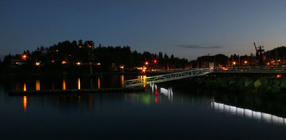
Aug 09, 2017
Kiss
Thank you to the BC Hydro crew that responded so quickly to our power outage just prior to dinner time on the holiday Monday. The Community of Granthams
Jun 15, 2017
Kick
Kicks to some of the rude neighbor's on Hillcrest who do not securely put their trash out on garbage day. We are sick of picking up your crap that the
Sep 01, 2016
Kick
Kicks to the woman with the 3 Husky dogs who let them poop on Smuggler Cove trail and didn't pick it up.
Sep 07, 2015
Kick
Kicks to the idiots who think playing war games with live amo is a good idea! Who in their right mind thinks this is fun?and leaving your spent brass and
Jun 04, 2015
kicks
Kicks to the incompetent gun owners who have fired their rifles across a mainline road uphill! This has happened twice in the last month (May 2015) while
Feb 22, 2015
Kick
Our forests and trails are a thing of natural beauty and wonder. I expect anyone making the effort to get all the way up to Big Fir would feel the same
Jan 16, 2015
Sprockids Trail Map

Sprockids trail map with over 14 km (8.4 mi) of trails with jumps, downhill, teeter-bars and ramps.
Jan 09, 2015
Gibsons
A listing with descriptions of many of the Gibsons trails that you may enjoy hiking or biking.
Jan 09, 2015
Gibsons Trails

Gibsons trails are great for hiking and biking, with many located in the Sprockids Bike Park.
Jun 30, 2014
Salmon Hatchery Hike Over Sakinaw Lake

Take Lee Road a couple kms (you will pass the trailhead for Pender Hill on your right as you go) and then left onto Milne Road. Park at the end before
Jun 29, 2014
Bogey, Pender Harbour
Super fun hill climb with a few awesome descents. Head up Bogey to the top of close encounters drop down this super flowy trail and cross the sun coaster
Nov 09, 2013
Coast Gravity Park

Coast Gravity Park will formally open in the spring of 2015, but there will be special ride days starting early 2014.

New! Comments
I began this site as a labour of love and in response to what I believed was a need to have one comprehensive website with detailed information about all trails on the Sunshine Coast.So here it is several months later and I've had so much fun hiking, biking and gpsing nearly every trail on the Sunshine Coast. Along the way the site has gained some loyal followers and we would love to know your thoughts about this page, site and/or the Sunshine Coast...
So if you have a moment (and a Facebook account OR Yahoo, AOL, Hotmail) please leave a comment in the box below.